Now we will get a new map based on Omaha and Sword Beach, I was wondering which beach the old Normandy maps are based on? Genuine question.

3 Likes
To our understanding,
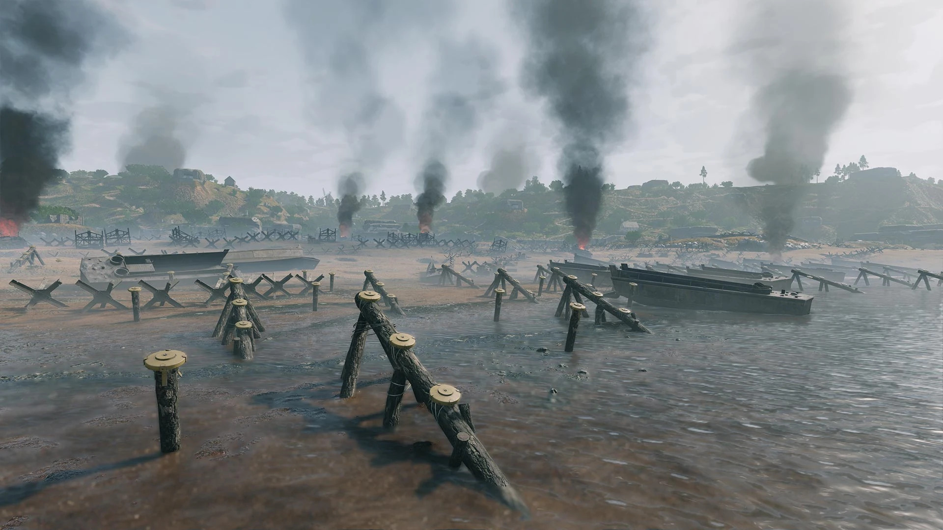
it’s an amalgamation of the Utah beach.
one of the clue it’s given by the heights and the bunkers positioning:
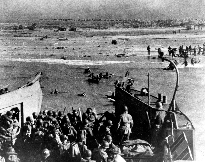
and above all, the map saint mere egliese is indeed located in this map.
which in real life was located in the utah sector
you can learn more here:

the other beach:
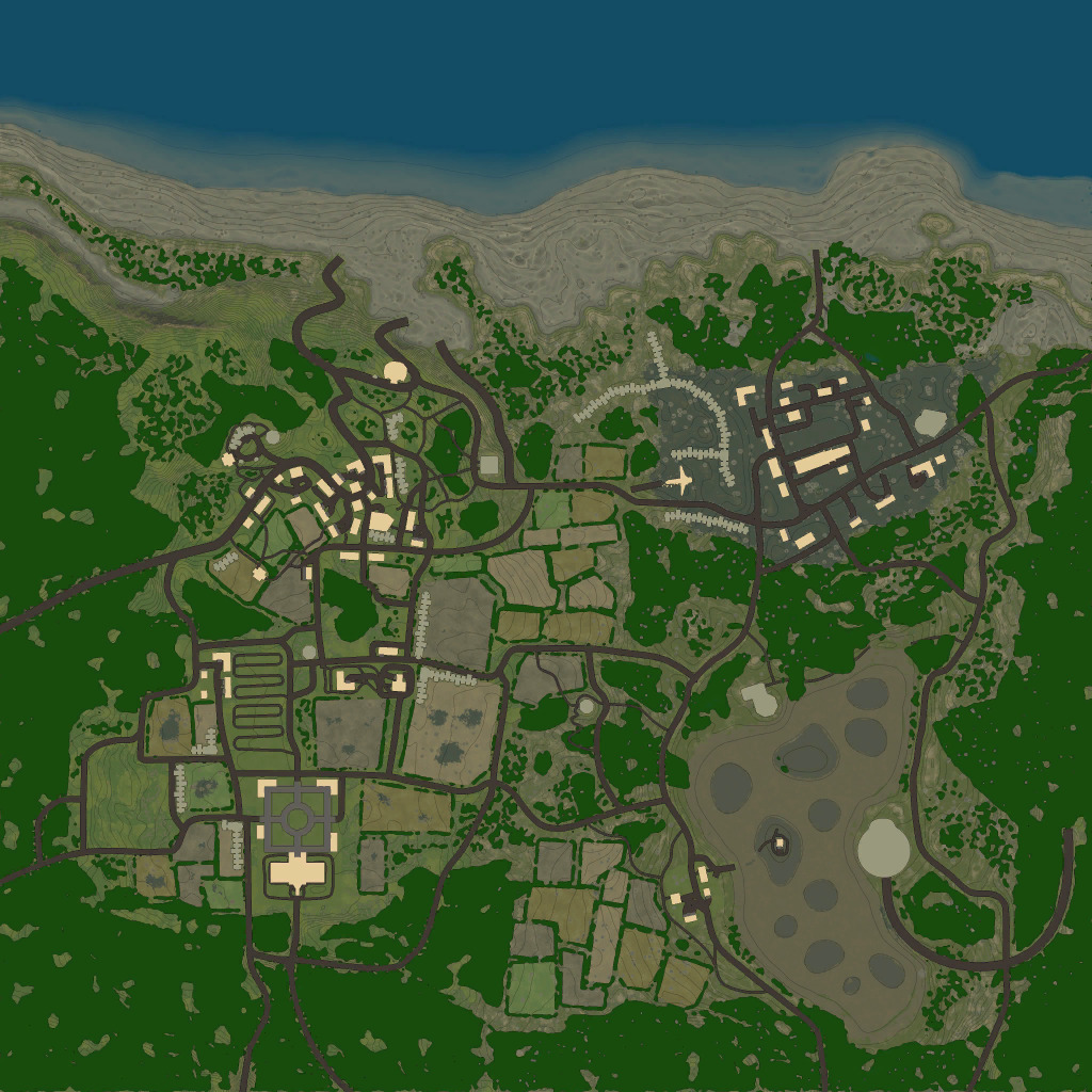
this old “d-day” this is an amalgamation but it should be about the british landings on Gold.
mostly because the map Oman is some sort of Calais Recreation due to the river crossing it’s city:

the other clue, is that in the map on the lower corner you can see a Krupp K5 Railway cannon.
which weren’t actively used, but the closest train rails were in calais. the other give awayi, is the ruins of vaux. which there’s a british memorial.
as it was around the calais area to the north.
but if you try to look up pictures… it doesn’t really line up.
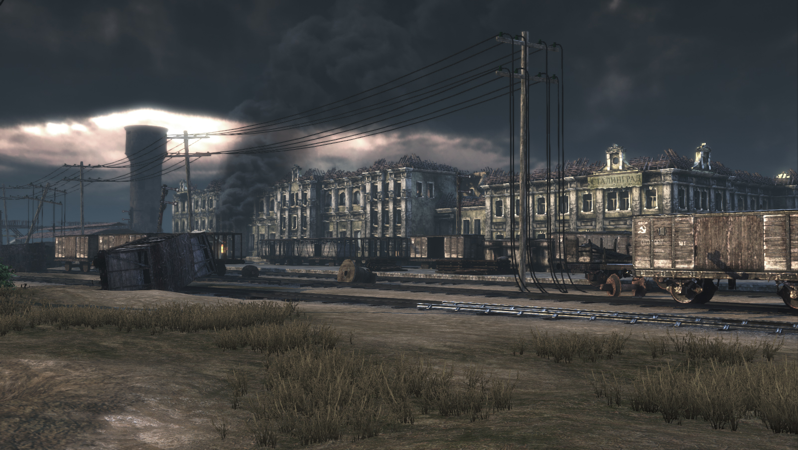
same kinda goes with stalingrad.
some places are iconic and faitfully reproduced. but scales and positions are off.
the new Omaha is more or less also an amalgamation because it’s rather short compared to the real counter part.
but i’m glad to see that there are couple of iconic places from the BOB serie.
such as the bocage, Brécourt Manor Assault, and few others that i’m forgetting the name.
10 Likes
I’d love to have all beaches as maps. Properly labeled of coarse so we know what where we are!
I know one of the Japanese maps are based on a place called alligator creek.

3 Likes
Always the ever reliable Erika ![]()
Such as the case with most video games, especially open world games where you can enter most if not all buildings.
Even Stalingrad which is the most faithfully reproduced map, the porpotions are obviously way smaller.
Any RO2 veteran recalls the train station map, its the exact same place we have in game, however it takes up an entire map, not just a section.
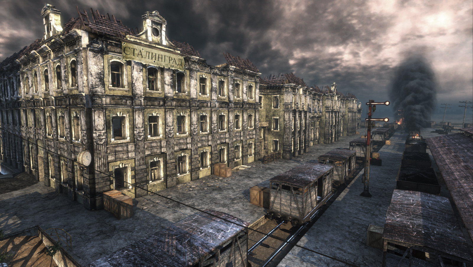
1 Like
i’m very familiar with it.
Ro2 Map weren’t historical accurrate to the 100% but we can sort of allow it due to technical limitations of the time, and also, gameplay reasons.
cause the enlisted map is way more faithful and historical when it comes for example, the train station and the fallen’s fighter square compared to Ro2. ( which ro2 train station is relatively pristine to what it was actually from the photos. also, it’s missing the various nail factories and the brick house like the enlisted version portrais )
with that being said, i can’t deny that i enjoy both games and their respective maps.
these two are by far my favorite WW2 games of all time.
3 Likes
For a quick second I thought that was Enlisted and thought wow my graphics suck at Ultra compared to that.
1 Like