It’s like a weird mixture of all previous map assets forced together in a contrived way – it looks like everywhere else, just not China.
5 Likes
That is 100% Japanese. Just Rename it to Japanese colonial village.
Again, I just see lazy asset copy-paste from Moscow maps. Where are the Chinese elements? How can you release Manchuria maps without including any Chinese elements?
These are extremely disrespectful representations, even worse than typical Orientalism. I didn’t know Manchuria had been a part of the Russian Empire. This is some serious ultra-Russian nationalism and colonialism crap.
At this point, just announce eos and save time and money for us all.
8 Likes
*assets meshup
I don’t think diverse is a good describe of randomly piece together different styles of things
2 Likes
Looks like a run down “Torii” gate, and they’re placed on the “Sandō”, the path/road to a shrine:
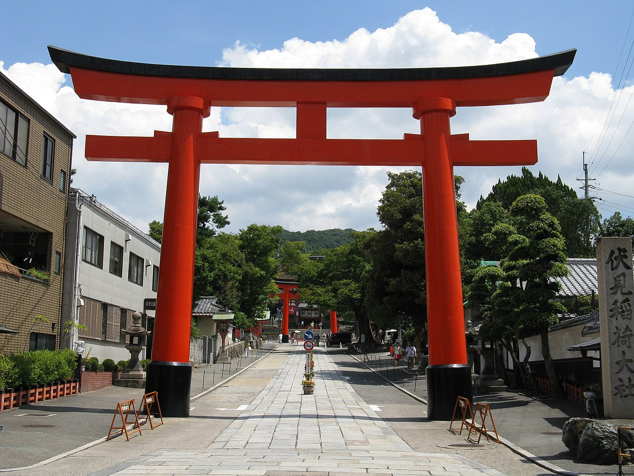
Japan built State-Shinto shrines throughout its possessions, including Manchuria.
My question is though, these are supposedly newly constructed in the area, and in active use. Why is the paint faided…? Does the local Japanese garrison take no pride in their own structures…?
Japanese occupation often invovled symbolic geastures of dominance, such as the construction of Shinto shrines or planting of Cherry Blossom trees. The only strange thing about this one is that it’s been unmaintained.
9 Likes
Why is that good? Those locations are geographically very far away? Shouldn’t Manchuria feel nothing like Europe?
They’re trying to make it look like it’s been here for a hundred years to pass it off as a “traditional” thing. If you ask why it’s like this? Because these fools can’t tell the damn difference at all.
3 Likes
Yes, there was some immigrants
1 Like
Do you even know what you’re talking about?
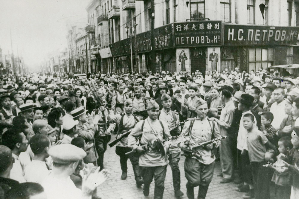
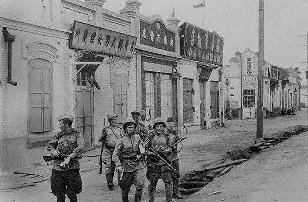
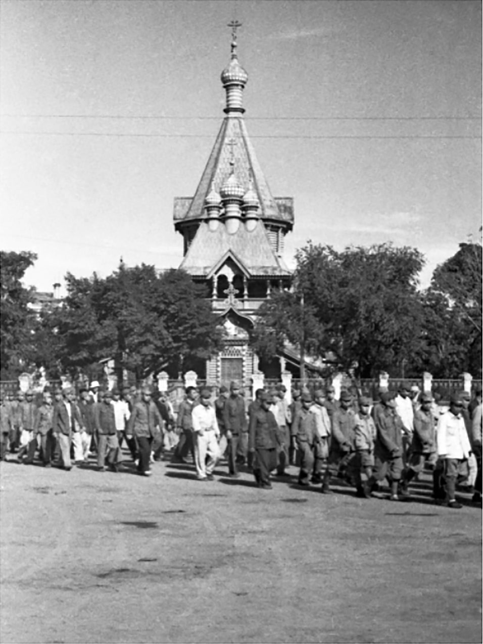
In 1898 Russia and China signed a treaty which granted the Russian Empire lease of Porth Arthur and Dalian, as well as construction or South Manchuria Railway to acces those cities.
So naturally lots of Russian speaking people were working/living in that area.
Then, after the revolution of 1917 in Russia, many Whites moved to Northern China to escape the Reds, and settled a lot in Kharbin.
Naturally, by 1945 this was still the case:
21 Likes
Guess speaking the truth is not allowed yeah alright lmfao
1 Like
I was talking about fighting in them, both Wald and Burma which is NOT in Europe have many different areas which makes fighting in each district unique and different with a very high emphasis on adaptability and cunningness.
2 Likes
There is some Cyrillic letters
7 Likes
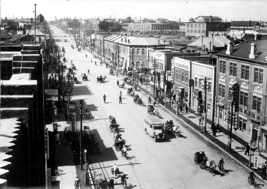
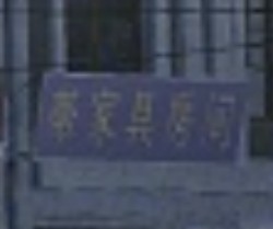
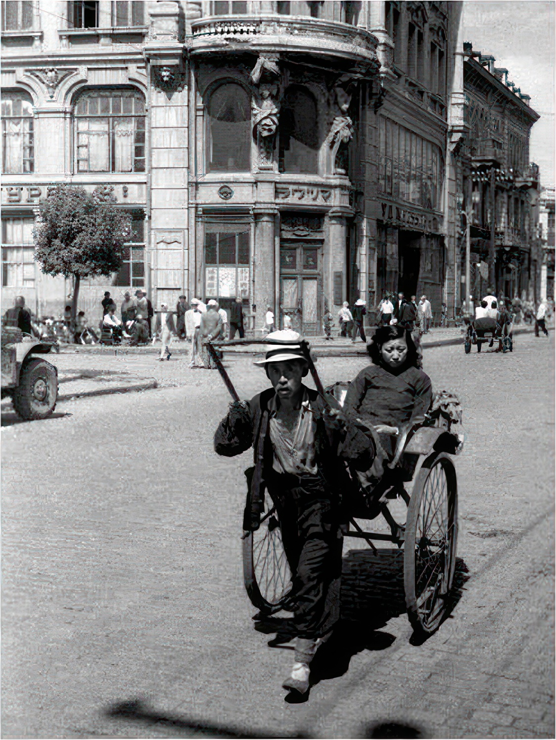
Why do the Chinese signs on the map look so odd? One of them says “帶家具房间,” which is a literal translation of “furnished room.” This phrase doesn’t seem to exist in Chinese. Also, most writing from that time period was written from right to left, not left to right. And why is the last character “间” in simplified Chinese? It should have been the traditional character “間” back then.
13 Likes
where, i only see Chinese

I thought these 2 were chinese word meaning “China” but i guess not?
1 Like
Oh yes. That means the whole Manchuria belonged to Russia. That means the archeticture style is Russian in Manchuria. You are very smart.
By the same logic, Chinese railway workers would recreate authentic Chinese villages in the U.S.
I don’t think anyone denies Russian influence and presence in the region, the problem is the degree of representation.
No one told you that, but some amount of civilians in Harbin, Mukden, Port-Artur, Dalian (Daren) was a Russian speaking, what’s your problem